
Union Jal Shakti Minister Launches Punah Bharan Mobile App
Developed by BISAG-N with the National Water Mission, the app uses geospatial data to identify potential recharge zones and support scientific water management.

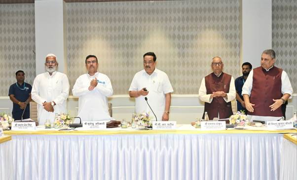
- Jal Shakti Ministry launches the Punah Bharan Mobile Application.
- App identifies potential recharge zones within a three-kilometre radius.
- Geospatial data helps assess rainfall, groundwater, slope and drainage.
- Web portal offers village-level recharge maps and GIS-based planning tools.
GG News Bureau
New Delhi, 28th Oct: The Union Minister for Jal Shakti has launched the Punah Bharan Mobile Application, a technology-based platform designed to support scientific planning for groundwater recharge across India.
Developed by BISAG-N in collaboration with the National Water Mission (NWM) under the Department of Water Resources, River Development and Ganga Rejuvenation, the application helps users identify potential artificial groundwater recharge zones and explore suitable structures based on local conditions.
The app enables users to identify potential recharge areas within a radial distance of up to three kilometres, providing location-specific information to support planning and implementation.
Geospatial Technology for Water Management
The platform uses geospatial datasets, including rainfall patterns, groundwater levels, groundwater yield, land slope and drainage networks, to assess the suitability of areas for artificial recharge.
By combining these datasets, the application aims to help users identify promising locations and select appropriate interventions based on local geographical conditions.
Village-Level Maps and GIS Tools
The accompanying web portal provides access to village-level Artificial Recharge Structure (ARS) zonation maps, Geographic Information System (GIS) tools and thematic data layers.
These resources are intended to support informed decision-making by planners and other stakeholders involved in groundwater management.
The initiative seeks to strengthen the use of scientific assessment and digital mapping in planning artificial recharge structures, supporting more sustainable management of groundwater resources.
