
No Claim Can Alter Reality: India Tells China, Maps 28 Ladakh Sites
New Delhi says Ladakh is an integral part of India after Beijing objects to the official naming of strategic locations, including Gogra and Hot Spring.

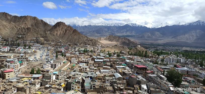
- India standardises names of 28 strategic locations in Ladakh on official maps.
- Gogra and Hot Spring, key 2020 friction points, feature in the list.
- MEA reiterates that Ladakh is an integral part of India.
- China objects to the move and repeats its territorial claims.
GG News Bureau
New Delhi, 13th Oct: India on Tuesday reaffirmed that Ladakh is an “integral and inalienable part of India” after China objected to New Delhi’s decision to standardise the names of 28 strategic locations and geographical features in the Union Territory for official mapping.
The Ministry of External Affairs said the formal identification of these locations on the Survey of India map was intended to ensure accurate recognition and improve public awareness of the sensitive border region. The names were standardised on October 2 in consultation with the Ladakh administration.
Among the locations identified are Gogra and Hot Spring, two key friction points along the Line of Actual Control (LAC) that figured prominently during the India-China military standoff in 2020. These areas remain significant for Indian patrolling activities along the disputed boundary.
Reiterating India’s position, the MEA said no denial by China could alter the established fact that Ladakh is an integral part of the country.
The 28 locations include high-altitude peaks, glaciers, passes, valleys, rivers and other geographical features. Besides Gogra and Hot Spring, the list includes Kanishka Peak, Zorawar Peak, Shachmirik Pass, Chapchingal Pass, Parpik Glacier, Skamri Glacier, Shkorga Valley and Yangpa River. Other names include Guru Rinpoche, Milarepa Kangri, Shiva Ri and Maheshwara Ri.
China criticised the move, with Foreign Ministry spokesperson Mao Ning reportedly saying that Beijing did not recognise the Union Territory of Ladakh and considered India’s standardisation of the names illegal and invalid. She reiterated China’s claim over areas in the western sector of the China-India boundary.
The exchange highlights the continuing disagreement between the two countries over territorial claims and the status of areas along the LAC. India’s latest mapping exercise formalises the identification of the locations on its official maps, while China has maintained its opposing position.
Background: The 2020 India-China Standoff
Tensions along the LAC escalated sharply in June 2020 when Indian and Chinese troops clashed in Galwan Valley in eastern Ladakh. The confrontation, involving hand-to-hand fighting, killed 20 Indian soldiers and four Chinese soldiers, according to the figures publicly acknowledged by the two countries.
The clash marked the deadliest military confrontation between the two sides in decades. Subsequent rounds of military and diplomatic talks led to disengagement at several friction points, although the broader boundary dispute remains unresolved.
India and China continue to accuse each other of attempting to alter the status quo along their roughly 3,500-kilometre disputed boundary.
